


venterol

losjo
User
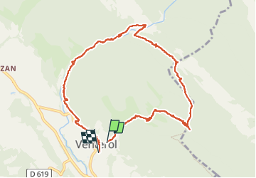

Length
11.7 km

Max alt
714 m

Uphill gradient
345 m
Km-Effort
16.4 km

Min alt
405 m

Downhill gradient
369 m
Boucle
No
Creation date :
2022-09-13 07:06:56.61
Updated on :
2022-09-13 12:31:18.051
5h23
Difficulty : Difficult

FREE GPS app for hiking
 SityTrail
IGN / Geographical institutes
SityTrail Plus
The world is yours!
About
Trail Walking of 11.7 km to be discovered at Auvergne-Rhône-Alpes, Drôme, Venterol. This trail is proposed by losjo.
Description
rando
Positioning
Country:
France
Region :
Auvergne-Rhône-Alpes
Department/Province :
Drôme
Municipality :
Venterol
Location:
Unknown
Start:(Dec)
Start:(UTM)
667417 ; 4917260 (31T) N.
Comments