


AUTOUR DE ST BLAISE

Daniel Benteux
User

Length
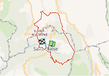
9.9 km

Max alt
601 m

Uphill gradient
464 m
Km-Effort
16.1 km

Min alt
226 m

Downhill gradient
494 m
Boucle
Yes
Creation date :
2021-10-22 08:22:44.917
Updated on :
2022-09-15 13:55:18.733
3h14
Difficulty : Medium

FREE GPS app for hiking
 SityTrail
IGN / Geographical institutes
SityTrail Plus
The world is yours!
About
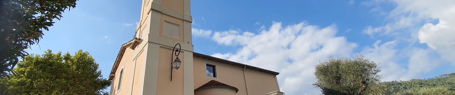
Trail Walking of 9.9 km to be discovered at Provence-Alpes-Côte d'Azur, Maritime Alps, Saint-Blaise. This trail is proposed by Daniel Benteux.
Description
marche
Photos


21 photos in total. Please click on a photo to see them all in the gallery.
Positioning
Country:
France
Region :
Provence-Alpes-Côte d'Azur
Department/Province :
Maritime Alps
Municipality :
Saint-Blaise
Location:
Unknown
Start:(Dec)
Start:(UTM)
358507 ; 4853436 (32T) N.
Comments