


gisors champêtre et historique

serge.guerroult
User
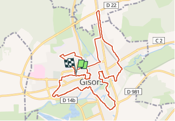

Length
12.1 km

Max alt
84 m

Uphill gradient
106 m
Km-Effort
13.6 km

Min alt
49 m

Downhill gradient
105 m
Boucle
Yes
Creation date :
2022-09-17 06:59:44.972
Updated on :
2022-09-17 10:36:35.573
2h13
Difficulty : Difficult

FREE GPS app for hiking
 SityTrail
IGN / Geographical institutes
SityTrail Plus
The world is yours!
About
Trail Walking of 12.1 km to be discovered at Normandy, Eure, Gisors. This trail is proposed by serge.guerroult.
Description
laissez vous guider sur un parcours en grande partie hors des sentiers battus mais aussi sur les GR12 5 et 225 sans oublier sur le passé médiéval et ....
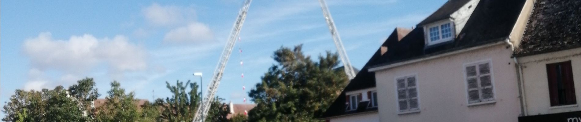
Photos


Positioning
Country:
France
Region :
Normandy
Department/Province :
Eure
Municipality :
Gisors
Location:
Unknown
Start:(Dec)
Start:(UTM)
410720 ; 5459356 (31U) N.
Comments