


rando j j

Tommy Eric
User
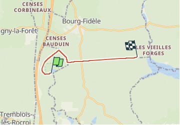

Length
6.2 km

Max alt
385 m

Uphill gradient
63 m
Km-Effort
7 km

Min alt
347 m

Downhill gradient
68 m
Boucle
No
Creation date :
2022-09-18 08:41:09.97
Updated on :
2022-09-18 10:17:19.506
1h11
Difficulty : Medium

FREE GPS app for hiking
 SityTrail
IGN / Geographical institutes
SityTrail Plus
The world is yours!
About
Trail Walking of 6.2 km to be discovered at Grand Est, Ardennes, Le Châtelet-sur-Sormonne. This trail is proposed by Tommy Eric.
Positioning
Country:
France
Region :
Grand Est
Department/Province :
Ardennes
Municipality :
Le Châtelet-sur-Sormonne
Location:
Unknown
Start:(Dec)
Start:(UTM)
609283 ; 5525144 (31U) N.
Comments