


sart . croupets du moulin . royonpré . retour via l autre rive

stef789
User GUIDE
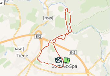

Length
7.4 km

Max alt
375 m

Uphill gradient
142 m
Km-Effort
9.3 km

Min alt
269 m

Downhill gradient
141 m
Boucle
Yes
Creation date :
2022-09-18 12:40:31.844
Updated on :
2022-09-18 15:03:50.437
2h21
Difficulty : Easy

FREE GPS app for hiking
 SityTrail
IGN / Geographical institutes
SityTrail Plus
The world is yours!
About
Trail Walking of 7.4 km to be discovered at Wallonia, Liège, Jalhay. This trail is proposed by stef789.
Description
!!! attention !!! Le gué est un vrai gué le pont arrache par les inondations n est toujours pas reconstruit
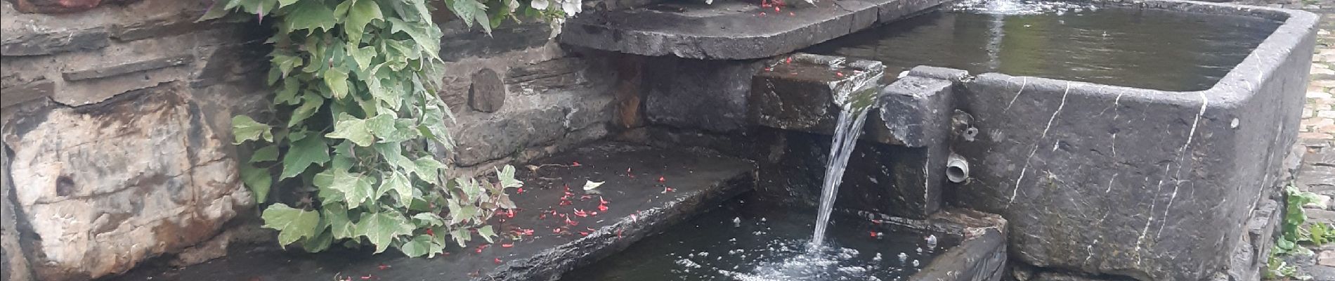
Photos


Positioning
Country:
Belgium
Region :
Wallonia
Department/Province :
Liège
Municipality :
Jalhay
Location:
Unknown
Start:(Dec)
Start:(UTM)
707866 ; 5600227 (31U) N.
Comments