


Belgentier vers barres de Cuers

FSantoni
User


Length
9.8 km

Max alt
664 m

Uphill gradient
543 m
Km-Effort
17.1 km

Min alt
187 m

Downhill gradient
544 m
Boucle
Yes
Creation date :
2022-09-18 15:49:42.287
Updated on :
2023-02-10 18:13:06.096
3h52
Difficulty : Difficult

FREE GPS app for hiking
 SityTrail
IGN / Geographical institutes
SityTrail Plus
The world is yours!
About
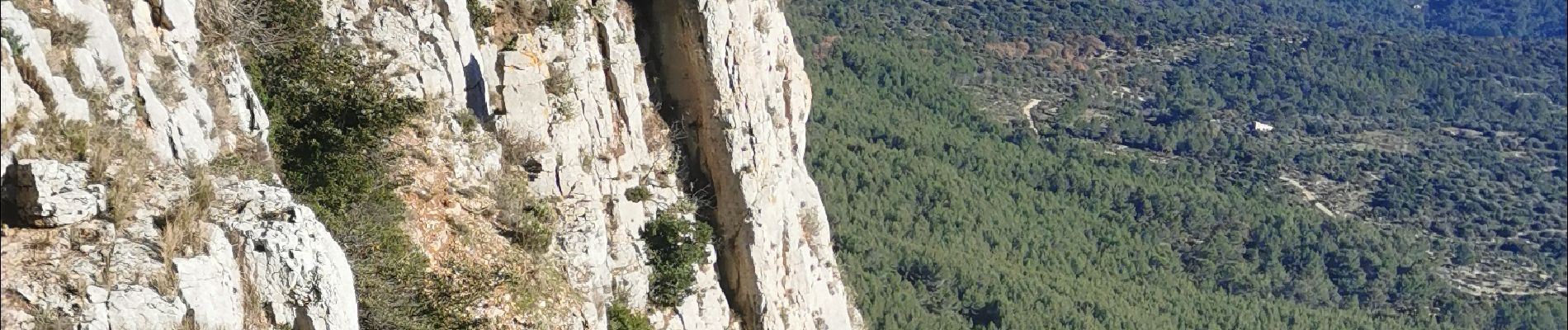
Trail Walking of 9.8 km to be discovered at Provence-Alpes-Côte d'Azur, Var, Belgentier. This trail is proposed by FSantoni.
Photos


Positioning
Country:
France
Region :
Provence-Alpes-Côte d'Azur
Department/Province :
Var
Municipality :
Belgentier
Location:
Unknown
Start:(Dec)
Start:(UTM)
256838 ; 4792419 (32T) N.
Comments