


Barres de Belgentier

FSantoni
User
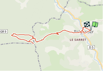

Length
11 km

Max alt
602 m

Uphill gradient
490 m
Km-Effort
17.5 km

Min alt
156 m

Downhill gradient
491 m
Boucle
Yes
Creation date :
2022-09-18 16:27:00.306
Updated on :
2023-02-10 18:18:40.007
3h58
Difficulty : Difficult

FREE GPS app for hiking
 SityTrail
IGN / Geographical institutes
SityTrail Plus
The world is yours!
About
Trail Walking of 11 km to be discovered at Provence-Alpes-Côte d'Azur, Var, Belgentier. This trail is proposed by FSantoni.
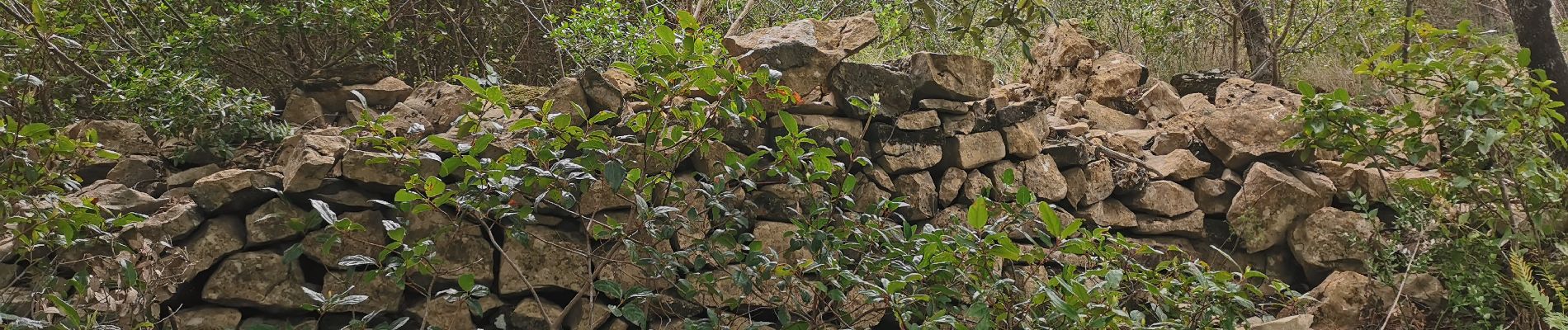
Photos


Positioning
Country:
France
Region :
Provence-Alpes-Côte d'Azur
Department/Province :
Var
Municipality :
Belgentier
Location:
Unknown
Start:(Dec)
Start:(UTM)
256832 ; 4792431 (32T) N.
Comments