


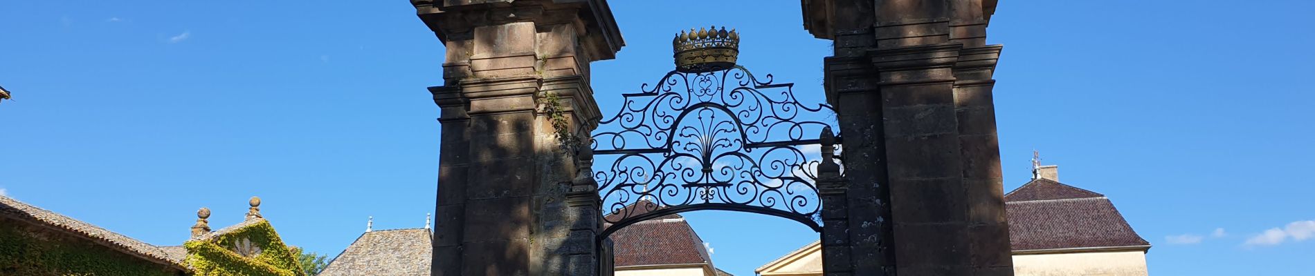
Jullie

janussity
User

Length
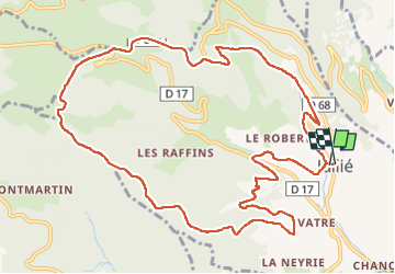
13.1 km

Max alt
704 m

Uphill gradient
424 m
Km-Effort
18.7 km

Min alt
346 m

Downhill gradient
419 m
Boucle
Yes
Creation date :
2022-09-08 12:10:48.672
Updated on :
2022-09-19 14:47:36.681
2h50
Difficulty : Difficult

FREE GPS app for hiking
 SityTrail
IGN / Geographical institutes
SityTrail Plus
The world is yours!
About
Trail Walking of 13.1 km to be discovered at Auvergne-Rhône-Alpes, Rhône, Jullié. This trail is proposed by janussity.
Description
beau temps rando grande de CL
Photos

Positioning
Country:
France
Region :
Auvergne-Rhône-Alpes
Department/Province :
Rhône
Municipality :
Jullié
Location:
Unknown
Start:(Dec)
Start:(UTM)
629309 ; 5122316 (31T) N.
Comments