


col de Fours et du Gyp

janussity
User


Length
11.3 km

Max alt
2442 m

Uphill gradient
835 m
Km-Effort
22 km

Min alt
1708 m

Downhill gradient
832 m
Boucle
Yes
Creation date :
2022-09-19 08:23:19.193
Updated on :
2022-09-19 14:47:39.47
4h02
Difficulty : Difficult

FREE GPS app for hiking
 SityTrail
IGN / Geographical institutes
SityTrail Plus
The world is yours!
About
Trail Walking of 11.3 km to be discovered at Provence-Alpes-Côte d'Azur, Alpes-de-Haute-Provence, Enchastrayes. This trail is proposed by janussity.
Description
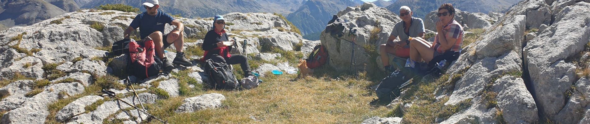
Beau temps. Patigons en déroute 8.
superbe balade.
Photos


Positioning
Country:
France
Region :
Provence-Alpes-Côte d'Azur
Department/Province :
Alpes-de-Haute-Provence
Municipality :
Enchastrayes
Location:
Unknown
Start:(Dec)
Start:(UTM)
315638 ; 4914158 (32T) N.
Comments