


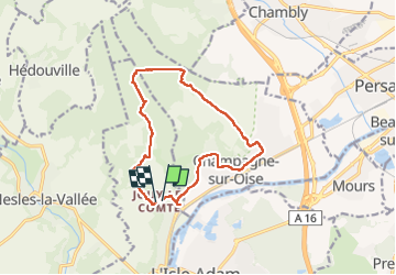
Tour du Lay , Ronquerolle

avdem
User

Length
12.5 km

Max alt
141 m

Uphill gradient
256 m
Km-Effort
15.8 km

Min alt
30 m

Downhill gradient
239 m
Boucle
Yes
Creation date :
2022-09-22 06:59:39.319
Updated on :
2022-09-22 10:11:59.394
3h11
Difficulty : Very easy

FREE GPS app for hiking
 SityTrail
IGN / Geographical institutes
SityTrail Plus
The world is yours!
About
Trail Walking of 12.5 km to be discovered at Ile-de-France, Val-d'Oise, Parmain. This trail is proposed by avdem.
Description
facile
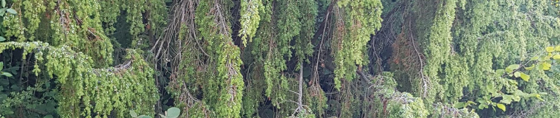
Photos


Positioning
Country:
France
Region :
Ile-de-France
Department/Province :
Val-d'Oise
Municipality :
Parmain
Location:
Unknown
Start:(Dec)
Start:(UTM)
442249 ; 5441960 (31U) N.
Comments