


Straimont 200922

guyernage25
User
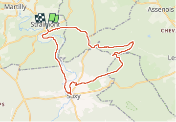

Length
16.3 km

Max alt
447 m

Uphill gradient
346 m
Km-Effort
21 km

Min alt
335 m

Downhill gradient
345 m
Boucle
Yes
Creation date :
2022-09-20 07:01:50.581
Updated on :
2022-09-23 12:26:27.893
4h08
Difficulty : Medium

FREE GPS app for hiking
 SityTrail
IGN / Geographical institutes
SityTrail Plus
The world is yours!
About
Trail Walking of 16.3 km to be discovered at Wallonia, Luxembourg, Herbeumont. This trail is proposed by guyernage25.
Description
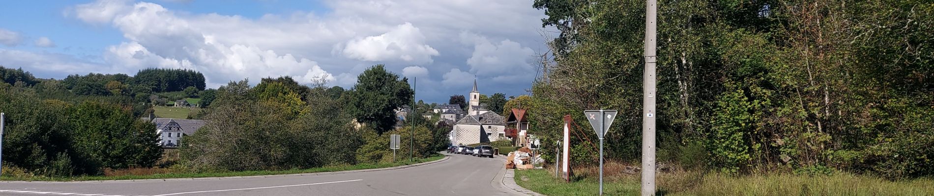
belle rando forestière
Photos


Positioning
Country:
Belgium
Region :
Wallonia
Department/Province :
Luxembourg
Municipality :
Herbeumont
Location:
Unknown
Start:(Dec)
Start:(UTM)
671486 ; 5518457 (31U) N.
Comments