


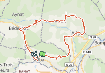
Tour du roc de Sédour

c.chehere
User


4h10
Difficulty : Easy

FREE GPS app for hiking
 SityTrail
IGN / Geographical institutes
SityTrail Plus
The world is yours!
About
Trail Walking of 13.1 km to be discovered at Occitania, Ariège, Surba. This trail is proposed by c.chehere.
Description
Sympa sur des bons sentiers. Fin de la rando un peu contrariée par une déviation provisoire qui augmente le dénivelé.
Rencontré un rocher avec des concrétions étranges (voir les photos) Certainement du calcaire l'endroit est tout près des anciennes carrières de gypse
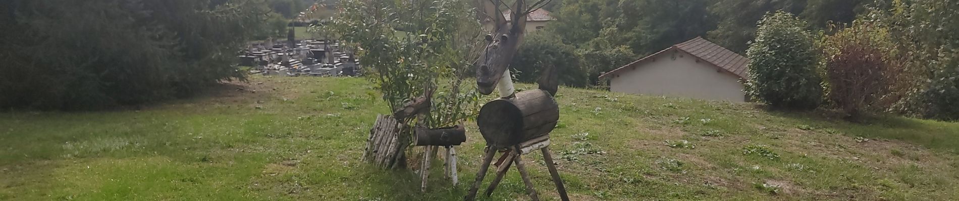
Photos


Positioning
Comments