


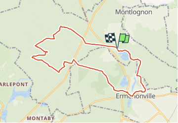
Chaalis - Forêt d'Ermenonville

philberard95
User

Length
17.9 km

Max alt
129 m

Uphill gradient
207 m
Km-Effort
21 km

Min alt
68 m

Downhill gradient
208 m
Boucle
Yes
Creation date :
2022-10-02 17:52:28.253
Updated on :
2022-10-02 17:55:45.423
4h41
Difficulty : Very difficult

FREE GPS app for hiking
 SityTrail
IGN / Geographical institutes
SityTrail Plus
The world is yours!
About
Trail Walking of 17.9 km to be discovered at Hauts-de-France, Oise, Fontaine-Chaalis. This trail is proposed by philberard95.
Positioning
Country:
France
Region :
Hauts-de-France
Department/Province :
Oise
Municipality :
Fontaine-Chaalis
Location:
Unknown
Start:(Dec)
Start:(UTM)
476871 ; 5443860 (31U) N.
Comments