


20221004-Boos

doudet
User
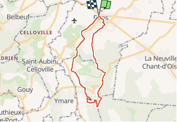

Length
13 km

Max alt
158 m

Uphill gradient
214 m
Km-Effort
15.8 km

Min alt
58 m

Downhill gradient
214 m
Boucle
Yes
Creation date :
2022-10-04 11:52:43.683
Updated on :
2022-10-05 09:14:41.376
3h32
Difficulty : Medium

FREE GPS app for hiking
 SityTrail
IGN / Geographical institutes
SityTrail Plus
The world is yours!
About
Trail Walking of 13 km to be discovered at Normandy, Seine-Maritime, Boos. This trail is proposed by doudet.
Description
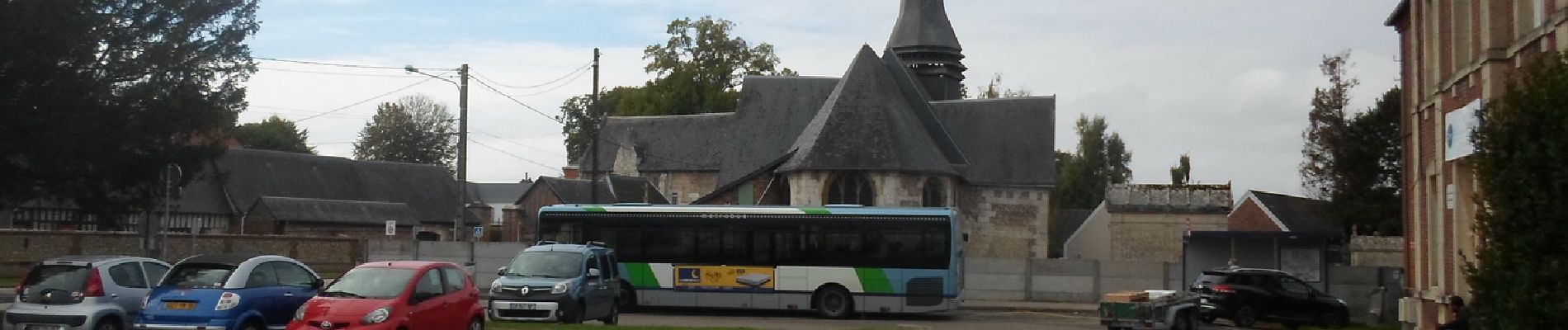
Boiucle A-R au départ de la place de l'Inter Marché de Boos
Photos


Positioning
Country:
France
Region :
Normandy
Department/Province :
Seine-Maritime
Municipality :
Boos
Location:
Unknown
Start:(Dec)
Start:(UTM)
369349 ; 5472241 (31U) N.
Comments