


3ème rando Crozant

jeanmarcMasson
User GUIDE
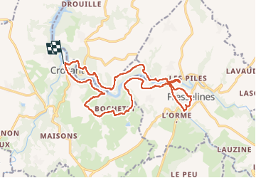

Length
19.5 km

Max alt
298 m

Uphill gradient
523 m
Km-Effort
26 km

Min alt
198 m

Downhill gradient
519 m
Boucle
Yes
Creation date :
2022-10-04 08:12:35.039
Updated on :
2022-10-04 18:42:00.316
5h34
Difficulty : Very difficult

FREE GPS app for hiking
 SityTrail
IGN / Geographical institutes
SityTrail Plus
The world is yours!
About
Trail Walking of 19.5 km to be discovered at New Aquitaine, Creuse, Crozant. This trail is proposed by jeanmarcMasson.
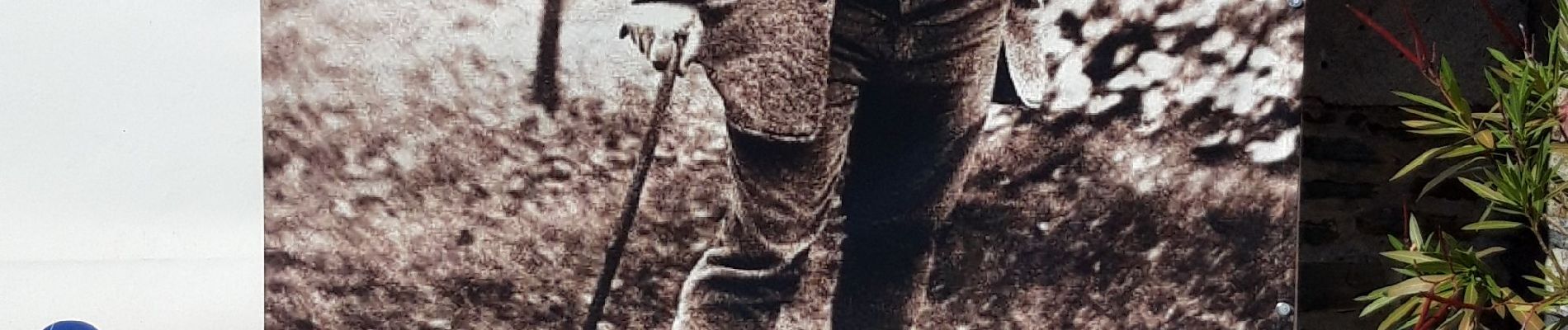
Photos

Positioning
Country:
France
Region :
New Aquitaine
Department/Province :
Creuse
Municipality :
Crozant
Location:
Unknown
Start:(Dec)
Start:(UTM)
393934 ; 5138736 (31T) N.
Comments