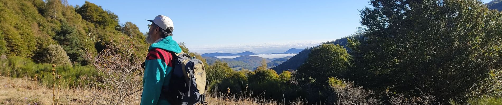
Montaillou

c.chehere
User


Length
15 km

Max alt
1809 m

Uphill gradient
639 m
Km-Effort
24 km

Min alt
1216 m

Downhill gradient
641 m
Boucle
Yes
Creation date :
2022-10-05 06:10:03.14
Updated on :
2023-05-25 16:47:47.066
3h01
Difficulty : Medium

FREE GPS app for hiking
 SityTrail
IGN / Geographical institutes
SityTrail Plus
The world is yours!
About
Trail Walking of 15 km to be discovered at Occitania, Ariège, Montaillou. This trail is proposed by c.chehere.
Photos


Positioning
Country:
France
Region :
Occitania
Department/Province :
Ariège
Municipality :
Montaillou
Location:
Unknown
Start:(Dec)
Start:(UTM)
409893 ; 4737845 (31T) N.
Comments