


Le Caylar

Francinedu
User
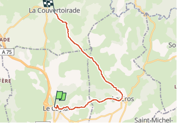

Length
12.6 km

Max alt
803 m

Uphill gradient
200 m
Km-Effort
15.2 km

Min alt
707 m

Downhill gradient
170 m
Boucle
No
Creation date :
2022-10-04 06:51:52.48
Updated on :
2022-10-06 07:58:52.228
2h43
Difficulty : Easy

FREE GPS app for hiking
 SityTrail
IGN / Geographical institutes
SityTrail Plus
The world is yours!
About
Trail Walking of 12.6 km to be discovered at Occitania, Hérault, Le Caylar. This trail is proposed by Francinedu.
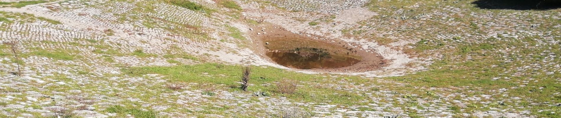
Photos


Positioning
Country:
France
Region :
Occitania
Department/Province :
Hérault
Municipality :
Le Caylar
Location:
Unknown
Start:(Dec)
Start:(UTM)
525416 ; 4856881 (31T) N.
Comments