


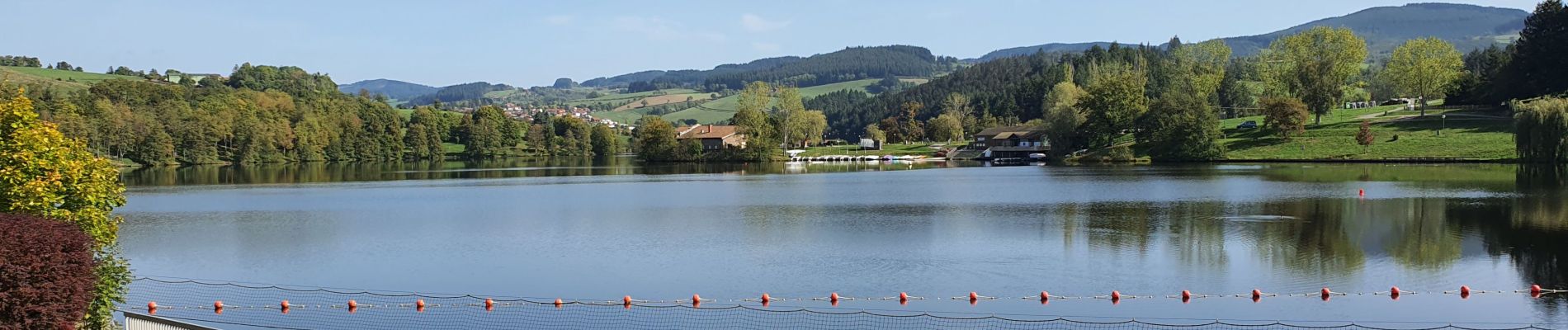
lac des Sapins

Daniel Benteux
User


Length
3.9 km

Max alt
464 m

Uphill gradient
58 m
Km-Effort
4.7 km

Min alt
435 m

Downhill gradient
59 m
Boucle
Yes
Creation date :
2022-10-07 09:52:29.306
Updated on :
2022-10-07 11:00:47.958
1h00
Difficulty : Easy

FREE GPS app for hiking
 SityTrail
IGN / Geographical institutes
SityTrail Plus
The world is yours!
About
Trail Walking of 3.9 km to be discovered at Auvergne-Rhône-Alpes, Rhône, Ronno. This trail is proposed by Daniel Benteux.
Description
marche
Photos


Positioning
Country:
France
Region :
Auvergne-Rhône-Alpes
Department/Province :
Rhône
Municipality :
Ronno
Location:
Unknown
Start:(Dec)
Start:(UTM)
605812 ; 5095505 (31T) N.
Comments