


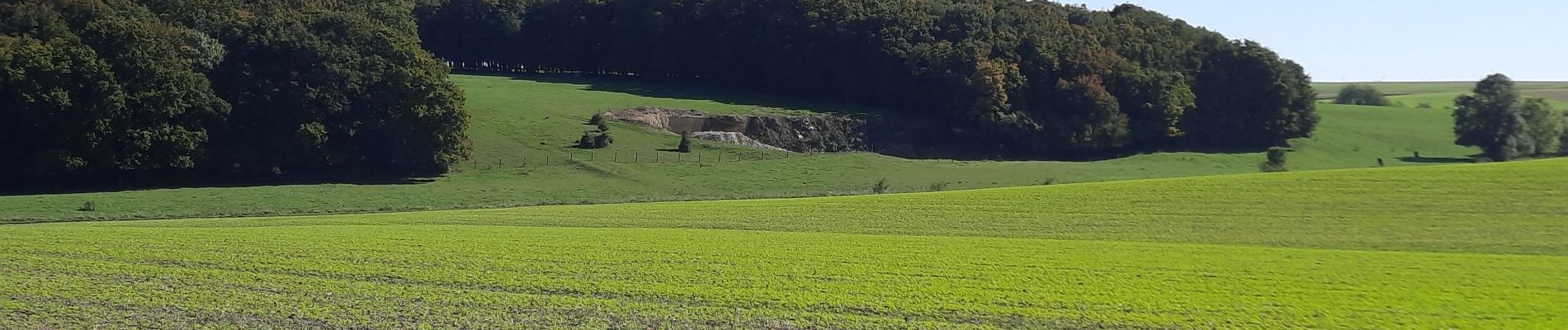
Villers Outreaux De Marliche au moulin de Brunet

mjh
User
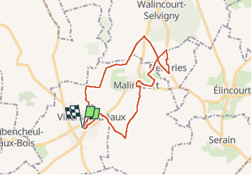

Length
14.3 km

Max alt
147 m

Uphill gradient
141 m
Km-Effort
16.2 km

Min alt
111 m

Downhill gradient
143 m
Boucle
Yes
Creation date :
2022-10-09 08:01:02.909
Updated on :
2022-10-09 13:13:52.214
3h42
Difficulty : Medium

FREE GPS app for hiking
 SityTrail
IGN / Geographical institutes
SityTrail Plus
The world is yours!
About
Trail Walking of 14.3 km to be discovered at Hauts-de-France, Nord, Villers-Outréaux. This trail is proposed by mjh.
Photos


Positioning
Country:
France
Region :
Hauts-de-France
Department/Province :
Nord
Municipality :
Villers-Outréaux
Location:
Unknown
Start:(Dec)
Start:(UTM)
521386 ; 5542259 (31U) N.
Comments