


sparmont ac 10

colsonandre
User
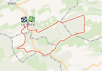

Length
9.2 km

Max alt
275 m

Uphill gradient
180 m
Km-Effort
11.6 km

Min alt
144 m

Downhill gradient
180 m
Boucle
Yes
Creation date :
2022-10-13 07:10:07.433
Updated on :
2022-10-13 10:16:45.79
3h06
Difficulty : Medium

FREE GPS app for hiking
 SityTrail
IGN / Geographical institutes
SityTrail Plus
The world is yours!
About
Trail Walking of 9.2 km to be discovered at Wallonia, Liège, Anthisnes. This trail is proposed by colsonandre.
Description
très très belle, magnifique
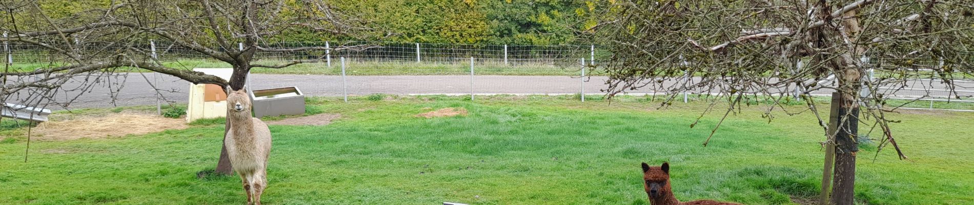
Photos


Positioning
Country:
Belgium
Region :
Wallonia
Department/Province :
Liège
Municipality :
Anthisnes
Location:
Unknown
Start:(Dec)
Start:(UTM)
678500 ; 5593378 (31U) N.
Comments