


Chateaudouble pont des sarrasins

alinetpierre
User
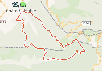

Length
12.6 km

Max alt
906 m

Uphill gradient
777 m
Km-Effort
23 km

Min alt
375 m

Downhill gradient
777 m
Boucle
Yes
Creation date :
2022-10-13 07:08:10.0
Updated on :
2022-10-13 11:47:02.107
3h42
Difficulty : Medium

FREE GPS app for hiking
 SityTrail
IGN / Geographical institutes
SityTrail Plus
The world is yours!
About
Trail Walking of 12.6 km to be discovered at Auvergne-Rhône-Alpes, Drôme, Châteaudouble. This trail is proposed by alinetpierre.
Description
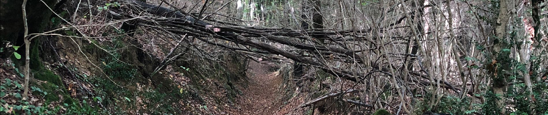
Très belle randonnée en sous bois
Photos


Positioning
Country:
France
Region :
Auvergne-Rhône-Alpes
Department/Province :
Drôme
Municipality :
Châteaudouble
Location:
Unknown
Start:(Dec)
Start:(UTM)
665417 ; 4973920 (31T) N.
Comments