


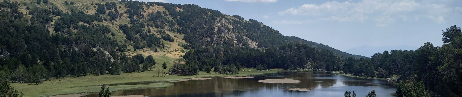
lac d'Aude

nadinebondoux
User GUIDE
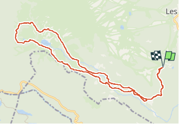

Length
13.8 km
Boucle
Yes
Creation date :
2022-07-25 06:54:25.789
Updated on :
2022-10-14 17:12:01.166
5h57
Difficulty : Medium

FREE GPS app for hiking
 SityTrail
IGN / Geographical institutes
SityTrail Plus
The world is yours!
About
Trail Walking of 13.8 km to be discovered at Occitania, Pyrénées-Orientales, Les Angles. This trail is proposed by nadinebondoux.
Description
départ Pla del Mir
Photos


Positioning
Country:
France
Region :
Occitania
Department/Province :
Pyrénées-Orientales
Municipality :
Les Angles
Location:
Unknown
Start:(Dec)
Start:(UTM)
423282 ; 4712739 (31T) N.
Comments