


Montfermy

Gegetop
User


Length
16.2 km

Max alt
727 m

Uphill gradient
367 m
Km-Effort
21 km

Min alt
521 m

Downhill gradient
361 m
Boucle
Yes
Creation date :
2022-10-07 10:01:54.953
Updated on :
2022-10-16 14:13:57.041
4h13
Difficulty : Medium

FREE GPS app for hiking
 SityTrail
IGN / Geographical institutes
SityTrail Plus
The world is yours!
About
Trail Walking of 16.2 km to be discovered at Auvergne-Rhône-Alpes, Puy-de-Dôme, Montfermy. This trail is proposed by Gegetop.
Description
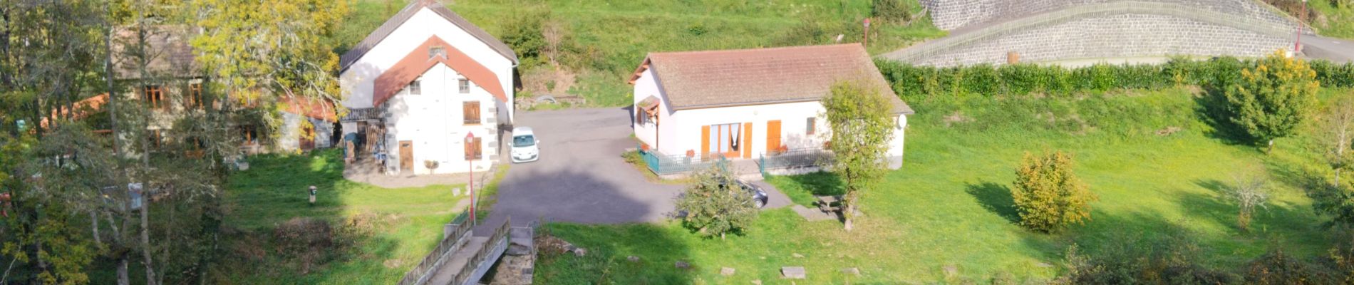
magnifique rivière et grandes forêts !
Photos

Positioning
Country:
France
Region :
Auvergne-Rhône-Alpes
Department/Province :
Puy-de-Dôme
Municipality :
Montfermy
Location:
Unknown
Start:(Dec)
Start:(UTM)
485159 ; 5080701 (31T) N.
Comments