


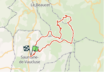


15.1 km | 25 km-effort

User GUIDE


FREE GPS app for hiking
 SityTrail
IGN / Geographical institutes
SityTrail World
The world is yours!
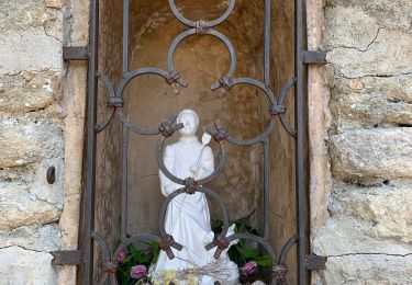
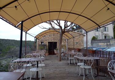
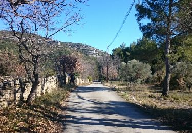
Trail Walking of 20 km to be discovered at Provence-Alpes-Côte d'Azur, Vaucluse, Saumane-de-Vaucluse. This trail is proposed by nadinebondoux.
trois luisant, combe Mayotte, descente vigie


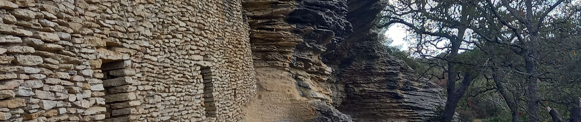
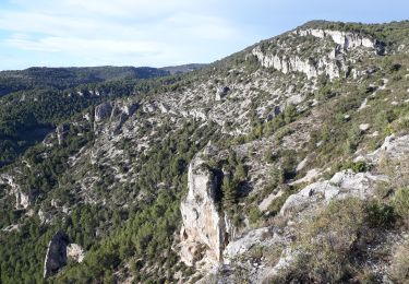
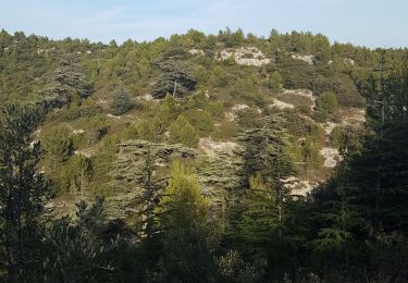
22 photos in total. Please click on a photo to see them all in the gallery.
Walking
Walking

Motor
Walking
Walking

Hybrid bike
Walking

Walking
Cycle