


xtrem 2014 55kms

albers
User
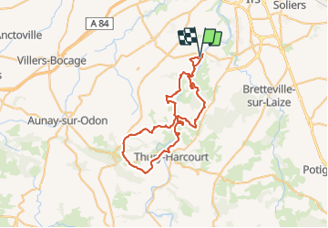

Length
55 km

Max alt
197 m

Uphill gradient
1161 m
Km-Effort
70 km

Min alt
12 m

Downhill gradient
1169 m
Boucle
Yes
Creation date :
2014-12-10 00:00:00.0
Updated on :
2014-12-10 00:00:00.0
3h45
Difficulty : Difficult

FREE GPS app for hiking
 SityTrail
IGN / Geographical institutes
SityTrail Plus
The world is yours!
About
Trail Mountain bike of 55 km to be discovered at Normandy, Calvados, Amayé-sur-Orne. This trail is proposed by albers.
Description
super parcours bravo.
Positioning
Country:
France
Region :
Normandy
Department/Province :
Calvados
Municipality :
Amayé-sur-Orne
Location:
Unknown
Start:(Dec)
Start:(UTM)
687550 ; 5439805 (30U) N.
Comments