


A travers les champs de Blegny et ses environs

Ko-Rando
User
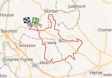

Length
17.5 km

Max alt
287 m

Uphill gradient
368 m
Km-Effort
22 km

Min alt
172 m

Downhill gradient
367 m
Boucle
Yes
Creation date :
2022-10-23 07:13:00.212
Updated on :
2022-10-23 11:31:48.926
3h56
Difficulty : Easy

FREE GPS app for hiking
 SityTrail
IGN / Geographical institutes
SityTrail Plus
The world is yours!
About
Trail Walking of 17.5 km to be discovered at Wallonia, Liège, Blegny. This trail is proposed by Ko-Rando.
Description
Parfait condensé de champs, bois, bitume 🥾
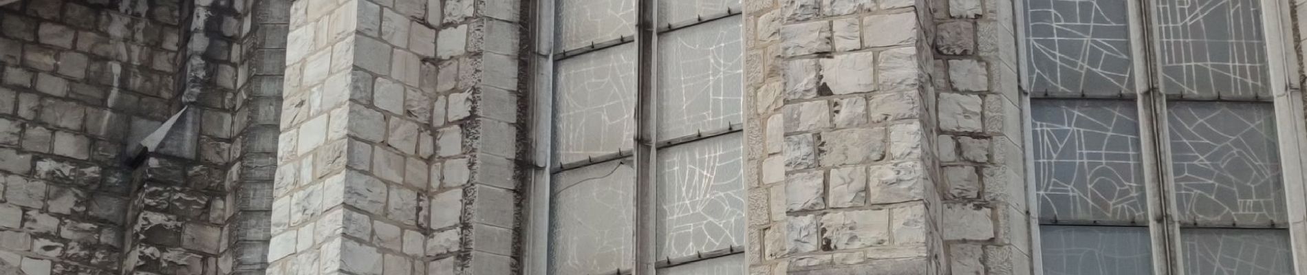
Photos


27 photos in total. Please click on a photo to see them all in the gallery.
Positioning
Country:
Belgium
Region :
Wallonia
Department/Province :
Liège
Municipality :
Blegny
Location:
Unknown
Start:(Dec)
Start:(UTM)
692288 ; 5616721 (31U) N.
Comments