


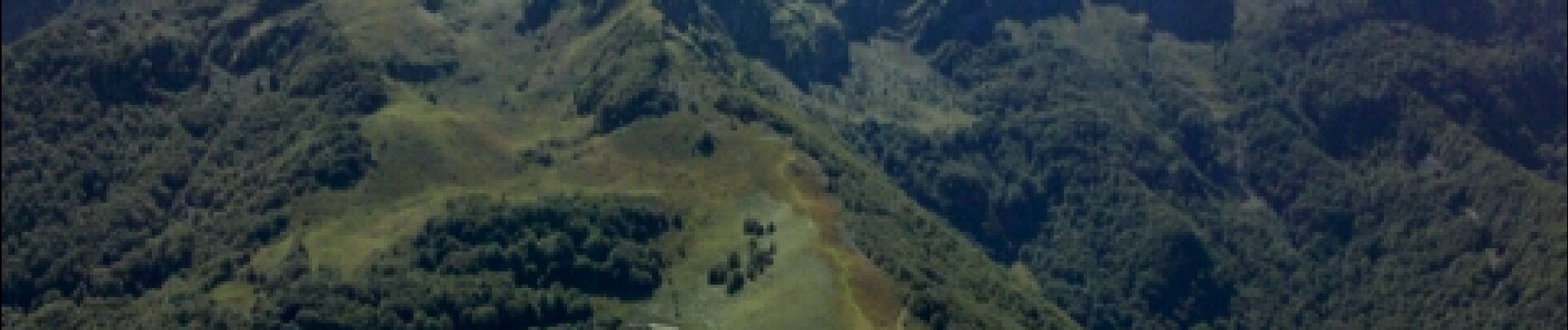
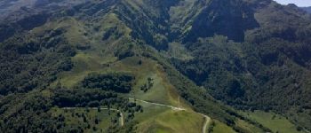
Pyrénées-140903 - CapBouirex

randodan
User
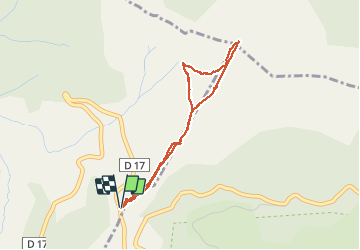

Length
4.8 km

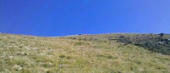
Max alt
1859 m

Uphill gradient
455 m
Km-Effort
10.9 km

Min alt
1390 m

Downhill gradient
460 m
Boucle
Yes
Creation date :
2014-12-10 00:00:00.0
Updated on :
2014-12-10 00:00:00.0
5h15
Difficulty : Difficult

FREE GPS app for hiking
 SityTrail
IGN / Geographical institutes
SityTrail Plus
The world is yours!
About
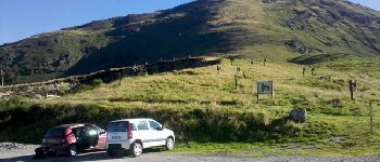
Trail Walking of 4.8 km to be discovered at Occitania, Ariège, Bethmale. This trail is proposed by randodan.
Photos


Positioning
Country:
France
Region :
Occitania
Department/Province :
Ariège
Municipality :
Bethmale
Location:
Unknown
Start:(Dec)
Start:(UTM)
345199 ; 4746903 (31T) N.
Comments