


loudenvielle

alainjoseph6
User
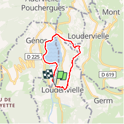

Length
5.6 km

Max alt
1114 m

Uphill gradient
180 m
Km-Effort
8 km

Min alt
950 m

Downhill gradient
181 m
Boucle
Yes
Creation date :
2015-05-01 00:00:00.0
Updated on :
2015-05-01 00:00:00.0
1h56
Difficulty : Easy

FREE GPS app for hiking
 SityTrail
IGN / Geographical institutes
SityTrail Plus
The world is yours!
About
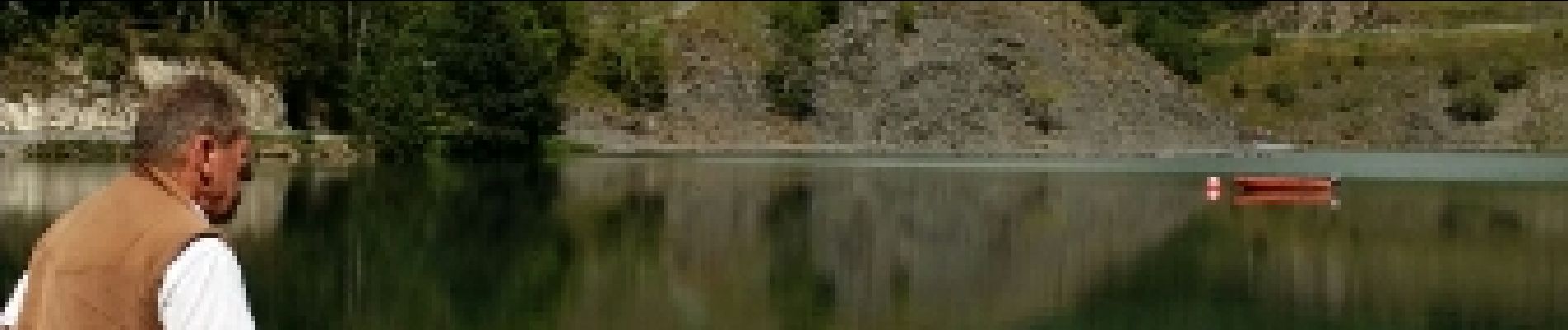
Trail Walking of 5.6 km to be discovered at Occitania, Hautespyrenees, Loudenvielle. This trail is proposed by alainjoseph6.
Description
superbe
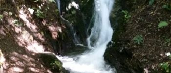
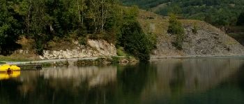
Photos


Positioning
Country:
France
Region :
Occitania
Department/Province :
Hautespyrenees
Municipality :
Loudenvielle
Location:
Loudenvielle
Start:(Dec)
Start:(UTM)
288085 ; 4741505 (31T) N.
Comments