


les étangs de Long

BrassensJC
User
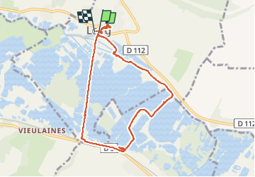

Length
7.4 km

Max alt
39 m

Uphill gradient
58 m
Km-Effort
8.2 km

Min alt
4 m

Downhill gradient
54 m
Boucle
Yes
Creation date :
2022-10-25 12:43:37.312
Updated on :
2022-10-25 14:44:51.854
2h00
Difficulty : Medium

FREE GPS app for hiking
 SityTrail
IGN / Geographical institutes
SityTrail Plus
The world is yours!
About
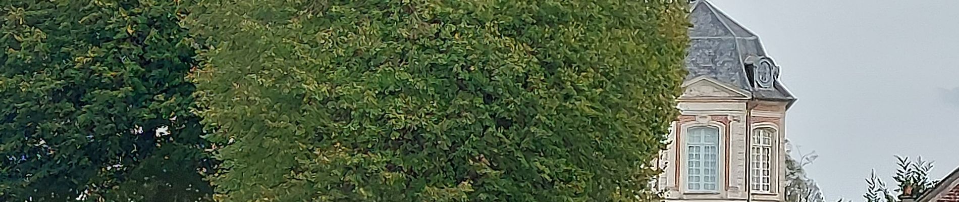
Trail Walking of 7.4 km to be discovered at Hauts-de-France, Somme, Long. This trail is proposed by BrassensJC.
Photos

Positioning
Country:
France
Region :
Hauts-de-France
Department/Province :
Somme
Municipality :
Long
Location:
Unknown
Start:(Dec)
Start:(UTM)
426911 ; 5543452 (31U) N.
Comments