


RÖMERPFAD

stef789
User GUIDE
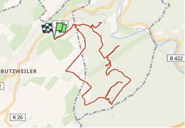

Length
12.2 km

Max alt
409 m

Uphill gradient
441 m
Km-Effort
18 km

Min alt
175 m

Downhill gradient
440 m
Boucle
Yes
Creation date :
2022-10-25 11:10:40.11
Updated on :
2022-10-25 16:34:01.078
4h03
Difficulty : Medium

FREE GPS app for hiking
 SityTrail
IGN / Geographical institutes
SityTrail Plus
The world is yours!
About
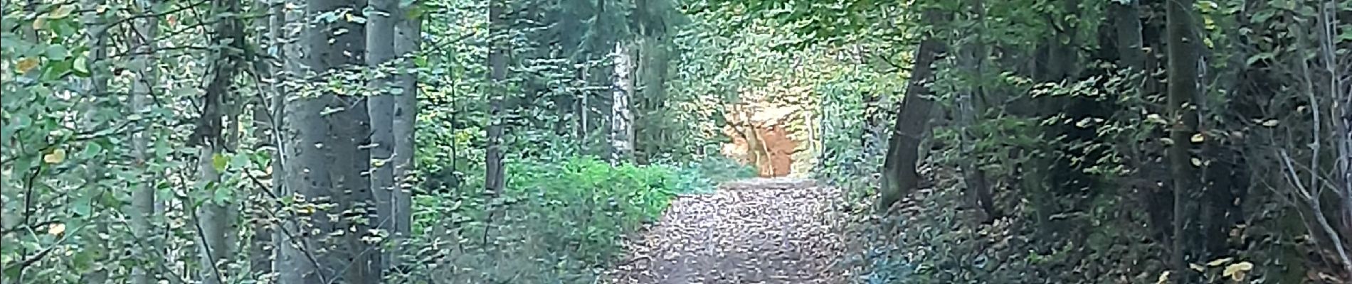
Trail Walking of 12.2 km to be discovered at Rhineland-Palatinate, Landkreis Trier-Saarburg, Newel. This trail is proposed by stef789.
Photos


Positioning
Country:
Germany
Region :
Rhineland-Palatinate
Department/Province :
Landkreis Trier-Saarburg
Municipality :
Newel
Location:
Unknown
Start:(Dec)
Start:(UTM)
329398 ; 5521342 (32U) N.
Comments