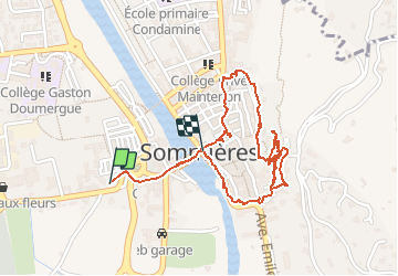


14 km | 16.9 km-effort


User


FREE GPS app for hiking
 SityTrail
IGN / Geographical institutes
SityTrail World
The world is yours!
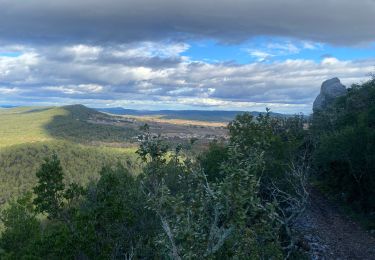
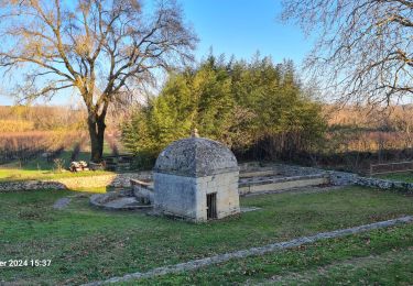
Trail Walking of 2.6 km to be discovered at Occitania, Gard, Sommières. This trail is proposed by jeanclaude12.
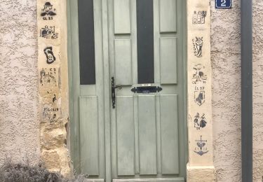
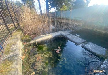
Centre médiéval construit en damiers, le long du Vidourle aux crues redoutables en cas d'orage (2002). Rues étroites enjambées de multiples arcades et porches. Château ruiné et sa belle tour qui domine la ville. Et célèbre pont romain du 1er siecle réduit à 7 arches au lieu des 20 existant à l'origine, mais qui résiste encore aux "vidourlades" furieuses. Une belle étape


Walking

Walking

Walking
Walking
Walking
Walking
Walking