


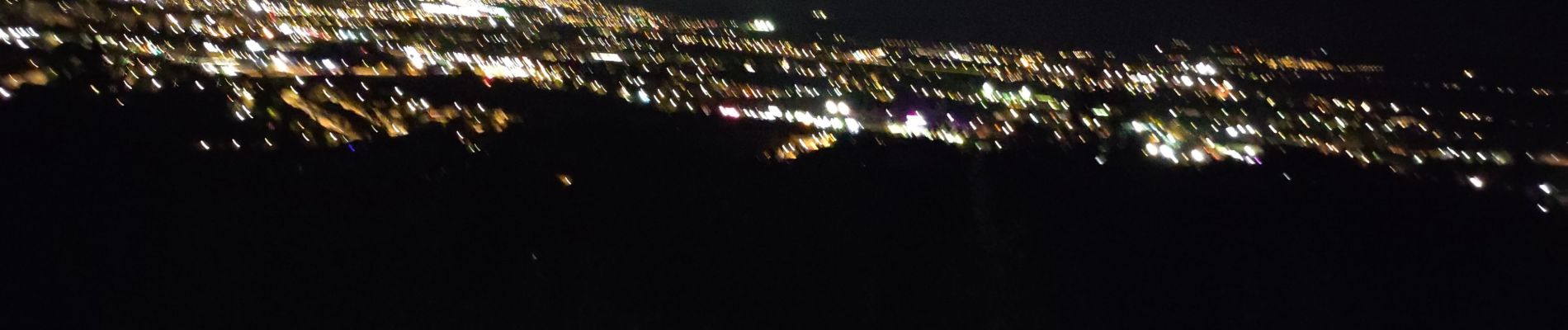
marche nuit

JJG54
User
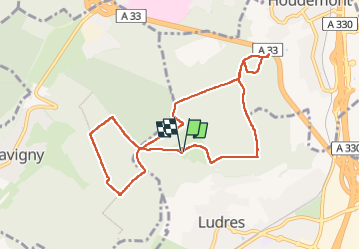

Length
8.7 km

Max alt
423 m

Uphill gradient
103 m
Km-Effort
10.1 km

Min alt
369 m

Downhill gradient
102 m
Boucle
Yes
Creation date :
2022-10-05 17:10:53.25
Updated on :
2022-10-30 22:02:07.701
2h11
Difficulty : Medium

FREE GPS app for hiking
 SityTrail
IGN / Geographical institutes
SityTrail Plus
The world is yours!
About
Trail Walking of 8.7 km to be discovered at Grand Est, Meurthe-et-Moselle, Ludres. This trail is proposed by JJG54.
Description
départ du parking
Photos


Positioning
Country:
France
Region :
Grand Est
Department/Province :
Meurthe-et-Moselle
Municipality :
Ludres
Location:
Unknown
Start:(Dec)
Start:(UTM)
290329 ; 5390207 (32U) N.
Comments