


Le Charmant Som

Atchoum26
User
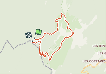

Length
8.8 km

Max alt
1857 m

Uphill gradient
641 m
Km-Effort
17.3 km

Min alt
1267 m

Downhill gradient
630 m
Boucle
Yes
Creation date :
2022-10-31 10:25:23.531
Updated on :
2022-10-31 18:45:41.521
4h27
Difficulty : Medium

FREE GPS app for hiking
 SityTrail
IGN / Geographical institutes
SityTrail Plus
The world is yours!
About
Trail Walking of 8.8 km to be discovered at Auvergne-Rhône-Alpes, Isère, Saint-Pierre-de-Chartreuse. This trail is proposed by Atchoum26.
Description
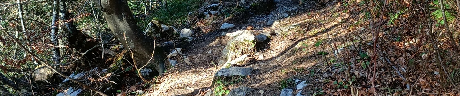
Un passage un peu raide sur les derniers mètres mais bien. Rando faite avec des enfants entre 7 et 13 ans
Photos


Positioning
Country:
France
Region :
Auvergne-Rhône-Alpes
Department/Province :
Isère
Municipality :
Saint-Pierre-de-Chartreuse
Location:
Unknown
Start:(Dec)
Start:(UTM)
714883 ; 5022526 (31T) N.
Comments