


Du village d'Oo au lac d'Oo

alainjoseph6
User


Length
15.3 km

Max alt
1531 m

Uphill gradient
620 m
Km-Effort
24 km

Min alt
970 m

Downhill gradient
620 m
Boucle
Yes
Creation date :
2014-12-10 00:00:00.0
Updated on :
2014-12-10 00:00:00.0
4h47
Difficulty : Difficult

FREE GPS app for hiking
 SityTrail
IGN / Geographical institutes
SityTrail Plus
The world is yours!
About
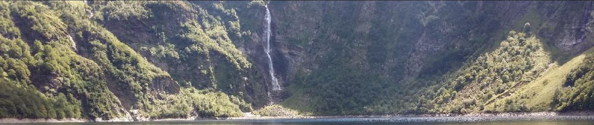
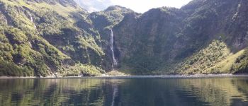
Trail Walking of 15.3 km to be discovered at Occitania, Haute-Garonne, Oô. This trail is proposed by alainjoseph6.
Description
Superbe randonnée,relativement difficile avec beaucoup de pierres.Restauration possible à l'arrivée au lac.
Photos


Positioning
Country:
France
Region :
Occitania
Department/Province :
Haute-Garonne
Municipality :
Oô
Location:
Unknown
Start:(Dec)
Start:(UTM)
295966 ; 4741026 (31T) N.
Comments