


servoz

Spinnaker
User

Length
2.4 km

Max alt
1036 m

Uphill gradient
85 m
Km-Effort
3.9 km

Min alt
830 m

Downhill gradient
201 m
Boucle
No
Creation date :
2022-11-02 14:25:22.386
Updated on :
2022-11-02 15:36:50.307
1h11
Difficulty : Very easy

FREE GPS app for hiking
 SityTrail
IGN / Geographical institutes
SityTrail Plus
The world is yours!
About
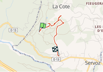
Trail Walking of 2.4 km to be discovered at Auvergne-Rhône-Alpes, Upper Savoy, Servoz. This trail is proposed by Spinnaker.
Positioning
Country:
France
Region :
Auvergne-Rhône-Alpes
Department/Province :
Upper Savoy
Municipality :
Servoz
Location:
Unknown
Start:(Dec)
Start:(UTM)
325640 ; 5089531 (32T) N.
Comments