


20221103-Duclair Le Taillis

doudet
User
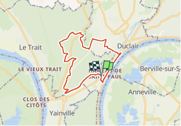

Length
13.6 km

Max alt
104 m

Uphill gradient
289 m
Km-Effort
17.5 km

Min alt
1 m

Downhill gradient
287 m
Boucle
Yes
Creation date :
2022-11-03 12:35:52.919
Updated on :
2022-11-04 07:04:12.669
3h53
Difficulty : Medium

FREE GPS app for hiking
 SityTrail
IGN / Geographical institutes
SityTrail Plus
The world is yours!
About
Trail Walking of 13.6 km to be discovered at Normandy, Seine-Maritime, Duclair. This trail is proposed by doudet.
Description
Boucle A-R au départ du Hameau St Paul
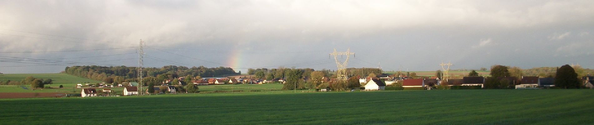
Photos


Positioning
Country:
France
Region :
Normandy
Department/Province :
Seine-Maritime
Municipality :
Duclair
Location:
Unknown
Start:(Dec)
Start:(UTM)
344761 ; 5481775 (31U) N.
Comments