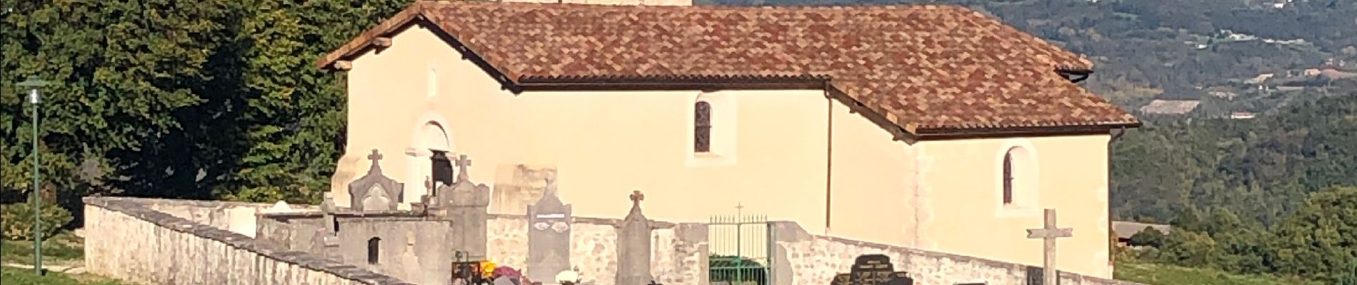
Rochechinard la Ragnole les Berthonettes

alinetpierre
User
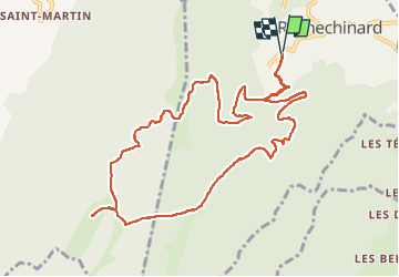

Length
12.1 km

Max alt
948 m

Uphill gradient
505 m
Km-Effort
18.9 km

Min alt
477 m

Downhill gradient
505 m
Boucle
Yes
Creation date :
2022-11-07 10:37:20.0
Updated on :
2022-11-07 14:12:07.324
2h55
Difficulty : Easy

FREE GPS app for hiking
 SityTrail
IGN / Geographical institutes
SityTrail Plus
The world is yours!
About
Trail Walking of 12.1 km to be discovered at Auvergne-Rhône-Alpes, Drôme, Rochechinard. This trail is proposed by alinetpierre.
Description
Une belle balade d’automne juste magique
Photos


Positioning
Country:
France
Region :
Auvergne-Rhône-Alpes
Department/Province :
Drôme
Municipality :
Rochechinard
Location:
Unknown
Start:(Dec)
Start:(UTM)
676890 ; 4988872 (31T) N.
Comments