


stembert . andrimont . stembert

stef789
User GUIDE
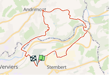

Length
9.8 km

Max alt
290 m

Uphill gradient
238 m
Km-Effort
13 km

Min alt
167 m

Downhill gradient
240 m
Boucle
Yes
Creation date :
2022-11-09 13:21:19.307
Updated on :
2022-11-09 15:32:27.302
2h09
Difficulty : Medium

FREE GPS app for hiking
 SityTrail
IGN / Geographical institutes
SityTrail Plus
The world is yours!
About
Trail Walking of 9.8 km to be discovered at Wallonia, Liège, Verviers. This trail is proposed by stef789.
Description
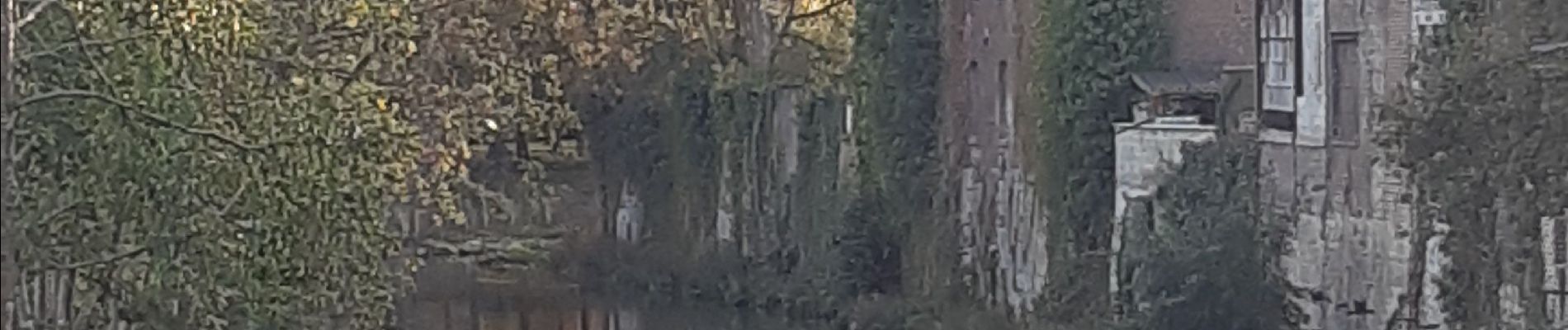
moitié nature moitié... quart monde
Photos


Positioning
Country:
Belgium
Region :
Wallonia
Department/Province :
Liège
Municipality :
Verviers
Location:
Unknown
Start:(Dec)
Start:(UTM)
704156 ; 5608662 (31U) N.
Comments