


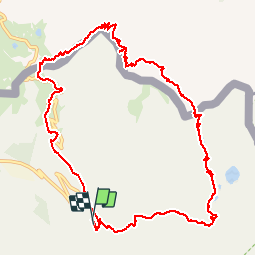
Boucle Isola 2000-Pas de la Fous-Cime Lombarde

ch2slv
User


5h19
Difficulty : Difficult

FREE GPS app for hiking
 SityTrail
IGN / Geographical institutes
SityTrail Plus
The world is yours!
About
Trail Walking of 13.6 km to be discovered at Provence-Alpes-Côte d'Azur, Maritime Alps, Isola. This trail is proposed by ch2slv.
Description
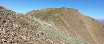
Très varié au départ ,après la Fous très pierreux mais bien tracé et balisé.
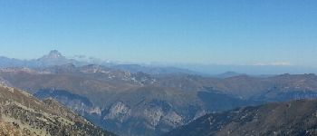
Du sommet de Vermeil ou Lombarde vue superbe sur les Alpes (Viso, Mont Rose, Pelvoux....)
La descente de la Cime Lombarde est toute en gros éboulis très cassants.
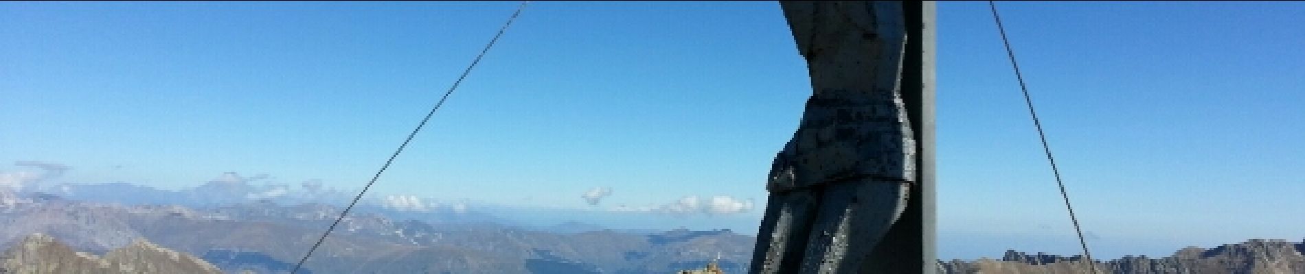
Photos


Positioning
Comments