


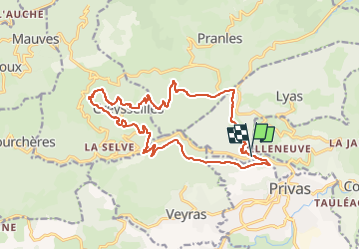
Le Petit Tournon 18km

thonyc
User GUIDE

Length
18.2 km

Max alt
665 m

Uphill gradient
782 m
Km-Effort
29 km

Min alt
279 m

Downhill gradient
771 m
Boucle
Yes
Creation date :
2022-11-10 14:11:45.954
Updated on :
2022-11-10 14:19:46.554
5h40
Difficulty : Difficult

FREE GPS app for hiking
 SityTrail
IGN / Geographical institutes
SityTrail Plus
The world is yours!
About
Trail Walking of 18.2 km to be discovered at Auvergne-Rhône-Alpes, Ardèche, Lyas. This trail is proposed by thonyc.
Description
Rando assez difficile avec une succession de montées et descentes.
Parcours varié.
Positioning
Country:
France
Region :
Auvergne-Rhône-Alpes
Department/Province :
Ardèche
Municipality :
Lyas
Location:
Unknown
Start:(Dec)
Start:(UTM)
625495 ; 4955636 (31T) N.
Comments
super ð