


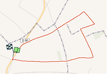

12.9 km | 14 km-effort


User


FREE GPS app for hiking
 SityTrail
IGN / Geographical institutes
SityTrail World
The world is yours!
Trail Walking of 4.7 km to be discovered at Hauts-de-France, Nord, Cysoing. This trail is proposed by Greg813.
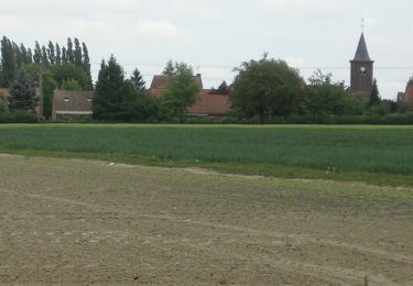
Petite ballade entre les champs à proximité de Cysoing. Idéale pour prendre l'air un week-end.


Walking
Mountain bike

Mountain bike

Walking

Walking

Walking

Walking

Walking
Walking