


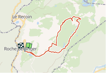
La croix de Chamrousse et le lac Achard en boucle depuis Chamrousse - 13 nov 2022

morganee
User

Length
9.3 km

Max alt
2248 m

Uphill gradient
499 m
Km-Effort
15.9 km

Min alt
1777 m

Downhill gradient
497 m
Boucle
Yes
Creation date :
2022-11-13 11:48:19.982
Updated on :
2022-11-13 16:30:11.42
4h40
Difficulty : Easy

FREE GPS app for hiking
 SityTrail
IGN / Geographical institutes
SityTrail Plus
The world is yours!
About
Trail Walking of 9.3 km to be discovered at Auvergne-Rhône-Alpes, Isère, Chamrousse. This trail is proposed by morganee.
Positioning
Country:
France
Region :
Auvergne-Rhône-Alpes
Department/Province :
Isère
Municipality :
Chamrousse
Location:
Unknown
Start:(Dec)
Start:(UTM)
726446 ; 4999370 (31T) N.
Comments