


20221115-La Maison des Forets

doudet
User

Length
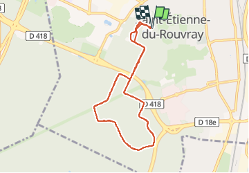
7.3 km

Max alt
76 m

Uphill gradient
91 m
Km-Effort
8.5 km

Min alt
36 m

Downhill gradient
91 m
Boucle
Yes
Creation date :
2022-11-15 08:26:19.949
Updated on :
2022-11-16 07:33:41.476
2h00
Difficulty : Easy

FREE GPS app for hiking
 SityTrail
IGN / Geographical institutes
SityTrail Plus
The world is yours!
About
Trail Walking of 7.3 km to be discovered at Normandy, Seine-Maritime, Saint-Étienne-du-Rouvray. This trail is proposed by doudet.
Description
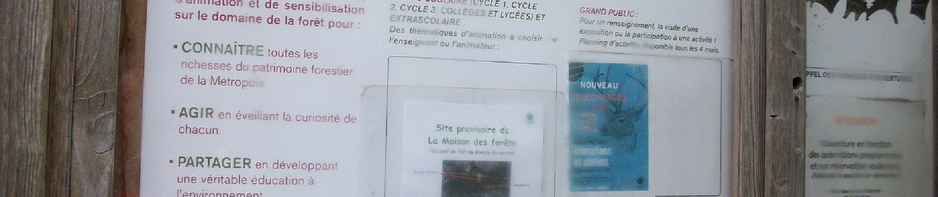
Boucle A-R au départ de la Maison des Forets
Photos


Positioning
Country:
France
Region :
Normandy
Department/Province :
Seine-Maritime
Municipality :
Saint-Étienne-du-Rouvray
Location:
Unknown
Start:(Dec)
Start:(UTM)
361126 ; 5471782 (31U) N.
Comments