


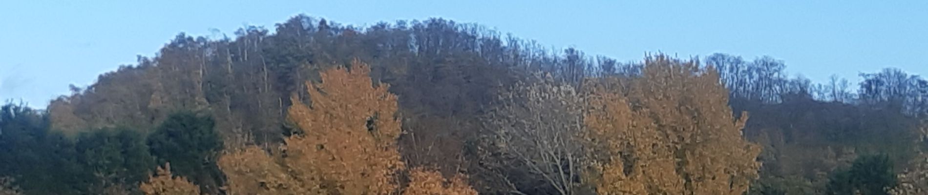
les 4 terrils

stef789
User GUIDE

Length
9.3 km

Max alt
229 m

Uphill gradient
277 m
Km-Effort
12.9 km

Min alt
75 m

Downhill gradient
243 m
Boucle
No
Creation date :
2022-11-16 10:30:35.386
Updated on :
2022-11-16 14:45:39.16
2h27
Difficulty : Easy

FREE GPS app for hiking
 SityTrail
IGN / Geographical institutes
SityTrail Plus
The world is yours!
About
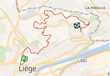
Trail Walking of 9.3 km to be discovered at Wallonia, Liège, Liège. This trail is proposed by stef789.
Photos


Positioning
Country:
Belgium
Region :
Wallonia
Department/Province :
Liège
Municipality :
Liège
Location:
Unknown
Start:(Dec)
Start:(UTM)
681648 ; 5613622 (31U) N.
Comments