


cagny-01

gr1346
User
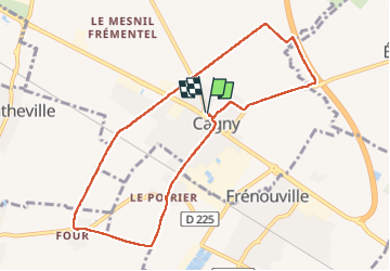

Length
8.7 km

Max alt
33 m

Uphill gradient
37 m
Km-Effort
9.2 km

Min alt
13 m

Downhill gradient
37 m
Boucle
Yes
Creation date :
2022-10-19 07:00:39.828
Updated on :
2022-11-16 17:44:01.75
2h38
Difficulty : Medium

FREE GPS app for hiking
 SityTrail
IGN / Geographical institutes
SityTrail Plus
The world is yours!
About
Trail Walking of 8.7 km to be discovered at Normandy, Calvados, Cagny. This trail is proposed by gr1346.
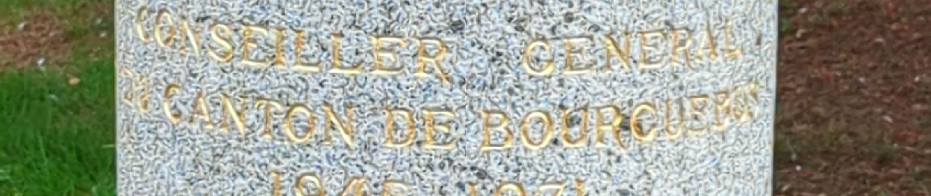
Photos


Positioning
Country:
France
Region :
Normandy
Department/Province :
Calvados
Municipality :
Cagny
Location:
Unknown
Start:(Dec)
Start:(UTM)
700103 ; 5447491 (30U) N.
Comments