


Tour des Poignets 18km

thonyc
User GUIDE
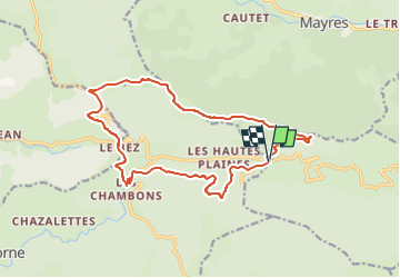

Length
17.1 km

Max alt
1526 m

Uphill gradient
602 m
Km-Effort
25 km

Min alt
1157 m

Downhill gradient
602 m
Boucle
Yes
Creation date :
2022-11-17 09:24:05.909
Updated on :
2023-02-06 08:30:05.816
5h42
Difficulty : Medium

FREE GPS app for hiking
 SityTrail
IGN / Geographical institutes
SityTrail Plus
The world is yours!
About
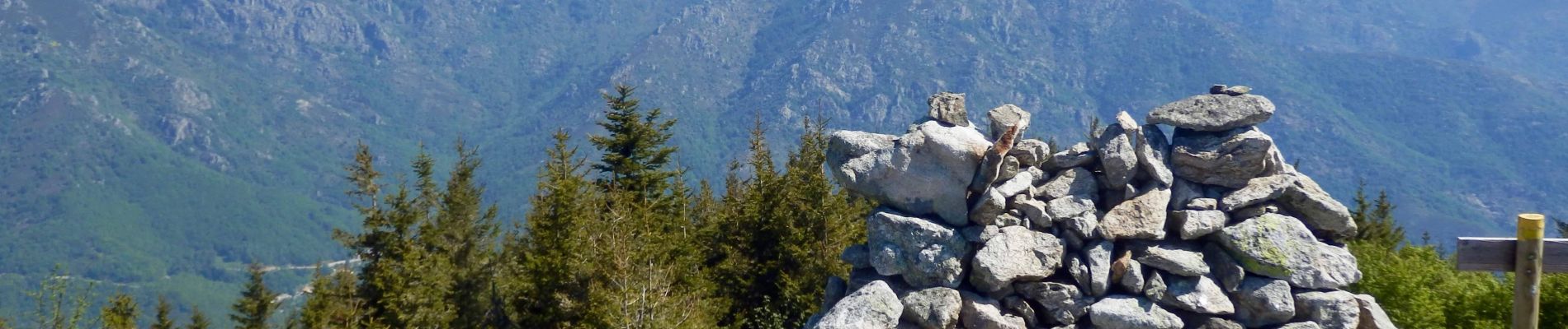
Trail On foot of 17.1 km to be discovered at Auvergne-Rhône-Alpes, Ardèche, Mayres. This trail is proposed by thonyc.
Photos


Positioning
Country:
France
Region :
Auvergne-Rhône-Alpes
Department/Province :
Ardèche
Municipality :
Mayres
Location:
Unknown
Start:(Dec)
Start:(UTM)
587033 ; 4943004 (31T) N.
Comments