


Face Sud de la montagne de Thiey

Palimpseste
User


Length
8.6 km

Max alt
1318 m

Uphill gradient
461 m
Km-Effort
14.7 km

Min alt
870 m

Downhill gradient
455 m
Boucle
Yes
Creation date :
2022-11-18 11:53:51.745
Updated on :
2022-11-18 18:11:44.659
2h11
Difficulty : Medium

FREE GPS app for hiking
 SityTrail
IGN / Geographical institutes
SityTrail Plus
The world is yours!
About
Trail Walking of 8.6 km to be discovered at Provence-Alpes-Côte d'Azur, Maritime Alps, Saint-Vallier-de-Thiey. This trail is proposed by Palimpseste.
Description
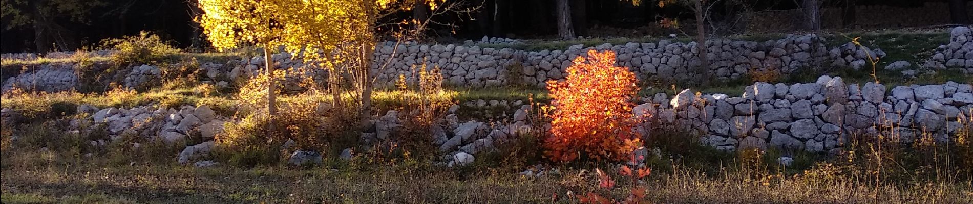
Belle balade d'automne avec beaucoup de couleurs sur les arbres, en particuliers les hetres
Photos


29 photos in total. Please click on a photo to see them all in the gallery.
Positioning
Country:
France
Region :
Provence-Alpes-Côte d'Azur
Department/Province :
Maritime Alps
Municipality :
Saint-Vallier-de-Thiey
Location:
Unknown
Start:(Dec)
Start:(UTM)
327658 ; 4842985 (32T) N.
Comments