


9.6 km | 12.1 km-effort


User GUIDE


FREE GPS app for hiking
 SityTrail
IGN / Geographical institutes
SityTrail World
The world is yours!
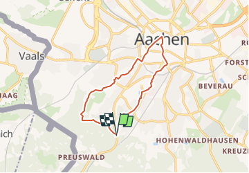
Trail Walking of 10.7 km to be discovered at North Rhine-Westphalia, Städteregion Aachen, Aachen. This trail is proposed by mumu.larandonneuse.
📍 & 🅿️ Lütticher Strabe 340
➡️ Points-noeuds 16 17 67 68 46 77 25 26 10 9 ... vers le centre et retour ... 4 5 6 14 16.
🇩🇪 Une randonnée alliant un parcours dans la forêt d'Aix-la-Chapelle avec la visite du centre et de son marché de Noël.
➕ Pendant environ quatre semaines précédant le Noël, les places et les ruelles aux environs de la cathédrale et de l'hôtel de ville d'Aix-la-Chapelle se transforment en un véritable village festif. Les lumières scintillantes et les senteurs inoubliables de vin chaud et de Printen (spécialité aixoise de pain d'épices) sont autant de gages d'une ambiance extraordinaire.
https://www.aachen-tourismus.de/fr/decouvrir/evenements/le-marche-de-noel-daix-la-chapelle
.
ℹ www.aachen.de/wandern.
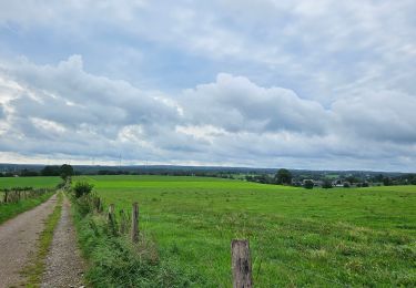
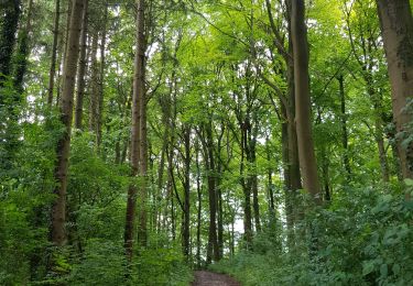
 - Photo 1")
 - Photo 2")
 - Photo 3")
 - Photo 4")
 - Photo 5")
 - Photo 6")
 - Photo 7")
 - Photo 8")
 - Photo 9")

Walking

Walking


Walking

Walking

Walking
Walking
Walking

Walking