


Mourre d'Agnis en partant de Signes

FSantoni
User
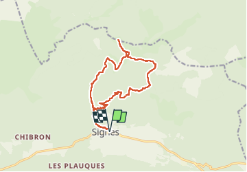

Length
16.4 km

Max alt
911 m

Uphill gradient
622 m
Km-Effort
25 km

Min alt
348 m

Downhill gradient
621 m
Boucle
Yes
Creation date :
2022-11-20 08:03:25.649
Updated on :
2022-11-20 18:21:59.338
5h26
Difficulty : Very difficult

FREE GPS app for hiking
 SityTrail
IGN / Geographical institutes
SityTrail Plus
The world is yours!
About
Trail Walking of 16.4 km to be discovered at Provence-Alpes-Côte d'Azur, Var, Signes. This trail is proposed by FSantoni.
Description
Beau dénivelé. Paysages magnifiques
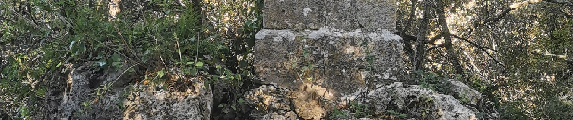
Photos


Positioning
Country:
France
Region :
Provence-Alpes-Côte d'Azur
Department/Province :
Var
Municipality :
Signes
Location:
Unknown
Start:(Dec)
Start:(UTM)
732511 ; 4797118 (31T) N.
Comments