


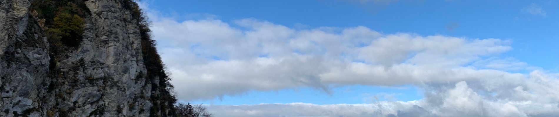
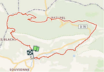
Forêt de Saou
© OpenStreetMap contributors


4h21
Difficulty : Very difficult


Length
14.7 km
Max alt
874 m
Uphill gradient
685 m
Km-Effort
24 km
Min alt
328 m
Downhill gradient
692 m
Boucle
No
Creation date :
2022-11-20 08:38:37.0
Updated on :
2022-11-20 15:19:35.812
4h21
Difficulty : Very difficult
FREE GPS app for hiking
 SityTrail
IGN / Geographical institutes
SityTrail Plus
The world is yours!
About
Trail Walking of 14.7 km to be discovered at Auvergne-Rhône-Alpes, Drôme, Saou. This trail is proposed by 000151.528cee2ba5ea499bb7720e62b4a3eb52.0056.
Description
Forêt de Saou
Photos

Positioning
Country:
France
Region :
Auvergne-Rhône-Alpes
Department/Province :
Drôme
Municipality :
Saou
Location:
Unknown
Start:(Dec)
Start:(UTM)
663433 ; 4945797 (31T) N.
Comments